Active Prince William

Advancing active mobility in greater Prince William, Virginia

Page 22 of 25

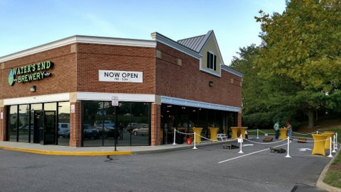
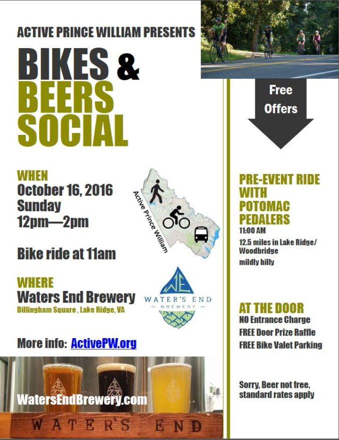
Free Bikes and Beers Social at Waters End Brewery in Lake Ridge on Sunday 16 October

Come hang out, have a beer flight, and chat about bikes and biking in Prince William, Manassas, and Manassas Park.

Waters End Brewery Logo

WHEN: Sunday 16 October 2016. Doors open at Noon.
WHERE: Waters End Brewery, Dillingham Square Plaza, Lake Ridge, VA (the first brewery in the area that you can safely bike and walk to)
location map: https://goo.gl/maps/YB4gDzmLiP92

Waters End Brewery

Waters End Brewery

Check out our Bikes & Beers Facebook Event Page

The event is FREE!
FREE Door Prize Raffles
FREE Bike Valet Parking

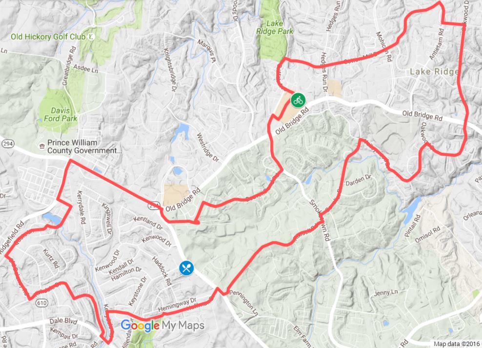
FREE PRE-EVENT SOCIAL RIDE WITH POTOMAC PEDALERS
11:00 AM
12.5 miles
The route will be only mildly hilly, following mostly quiet streets through Lake Ridge and Woodbridge. Note: riders must sign a waver and wear a helmet.
Link to PPTC ride page: http://www.potomacpedalers.org/events/EventDetails.aspx?id=866756
Strava Route: https://www.strava.com/routes/5684390
Google Map of Route: https://goo.gl/o6mhq4

Bikes and Beers Social Pre-ride Route Map

Bikes and Beers Social Pre-ride Route Map

This social event organized by Active Prince William (https://www.activepw.org)

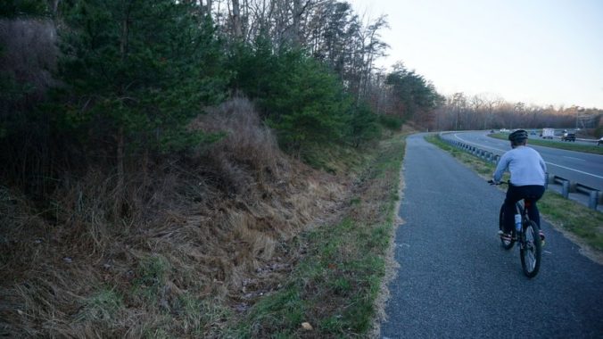
Route 234 Trail to be Extended

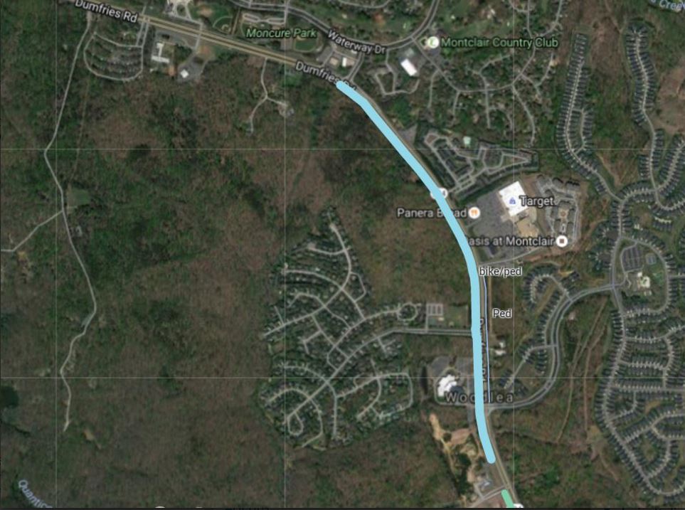
The Route 234, Dumfries Rd, bicycle and running trail is set to be extended from its current Eastern end point at Golf Club Dr, the main entrance to Montclair. The project will extend the trail for more than an additional mile, past the Brittany Residential Community down to Talon Dr just past the 7-Eleven. The trail extension will link Montclair, Brittany, and Four Seasons communities to Fortuna Plaza enabling thousands of people to bike and walk to shopping and restaurants that are currently accessible only by car.

Route 234 Trail Extension Map

Route 234 Trail Extension Map

The project will expand options for outdoor activities in the area, connect more people to the unofficial North entrance to Prince William Forest Park (near Waterway Dr), and improve access to a number of PRTC bus stops along Route 234, making it safer to walk or bike to transit in this area of the county.

Construction of the Route 234 trail extension should begin next year and is planned to be completed by Spring of 2018.

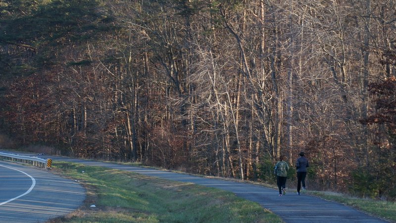
Route 234 Trail Runners

Route 234 Trail Runners

Future Plans.

Prince William County DOT has plans for a future extension that will complete the trail all the way to Route 1, Jefferson Davis Highway. The completion of the trail to Route 1 is not yet funded, but PWC DOT has worked with the regional Transportation Planning Board (TPB) to get the project on the unfunded pedestrian and bicycle priority projects list to receive funding as soon as it is available.

The Google Map below shows the new trail section being constructed (in purple), and existing sections of the trail (in green). Lines in red in the map are future potential projects.

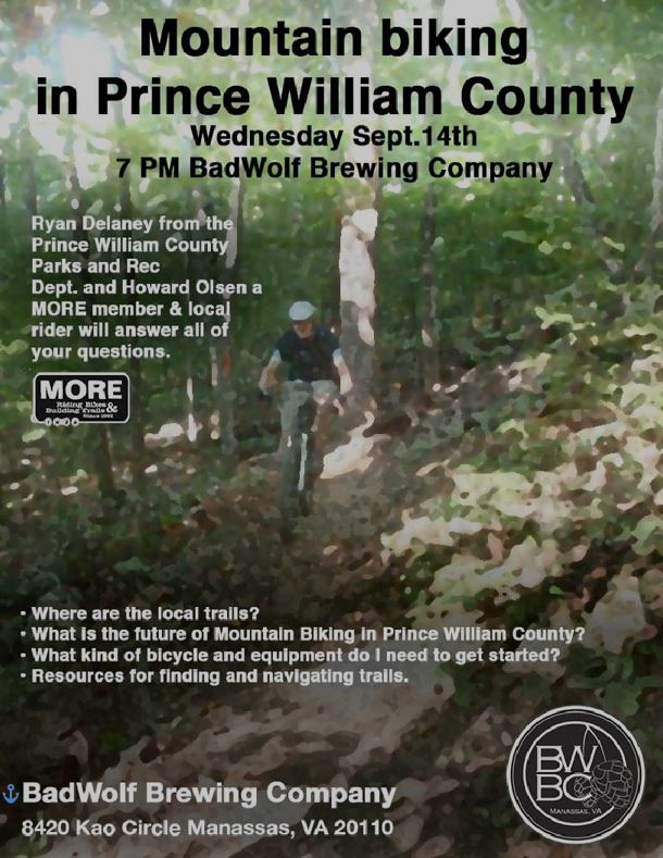
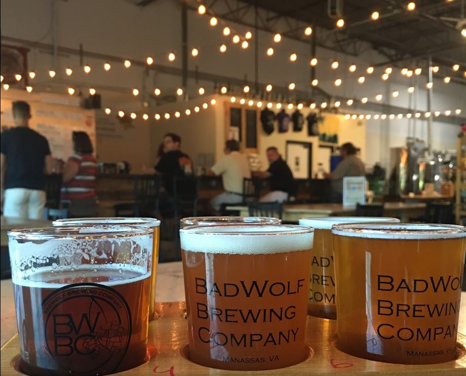
Mountain Biking in Prince William County Happy Hour – Bad Wolf Brewing, Wed 14 Sept 2016 7:00 PM

Do you want to ride off-road in Prince William County?

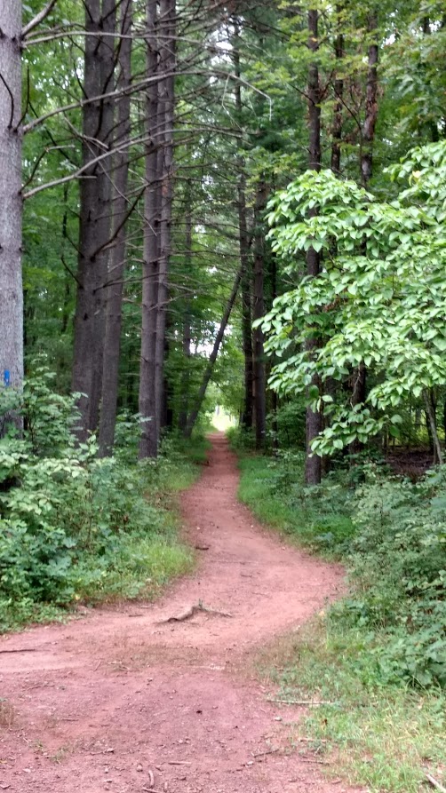
Conway Robinson State Forest

Conway Robinson State Forest

Here’s an opportunity to learn more about where to ride, what is happening with mountain biking in Prince William County, and enjoy some beer from a local brewery.

Mountain Biking in Prince William County Happy Hour

Questions and Answers with:
  • Ryan Delaney (of PWC Parks Dept)
  • Howard Olsen, a MORE member and local rider
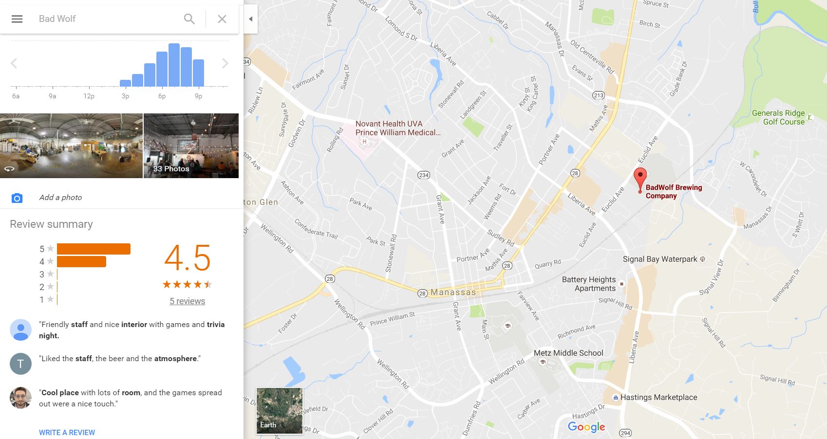
Bad Wolf Brewing, 8420 Kao Circle, Manassas, VA 20110
Wednesday, September 14 7:00 PM.

For additional information about MORE (Mid-Atlantic Off-Road Enthusiasts): MORE Website

Click Map to view
Bad Wolf Brewing Map

Google Map of Bad Wolf Brewing

Bad Wolf Brewing

Bad Wolf Brewing

Moutain Biking in Prince William County Happy Hour

Bikes and Beer: Ride 1 to 59 Miles to the 1st Annual Workhouse Brewfest Saturday

Workhouse Arts Center Brewfest Logo

Workhouse Arts Center Brewfest Logo

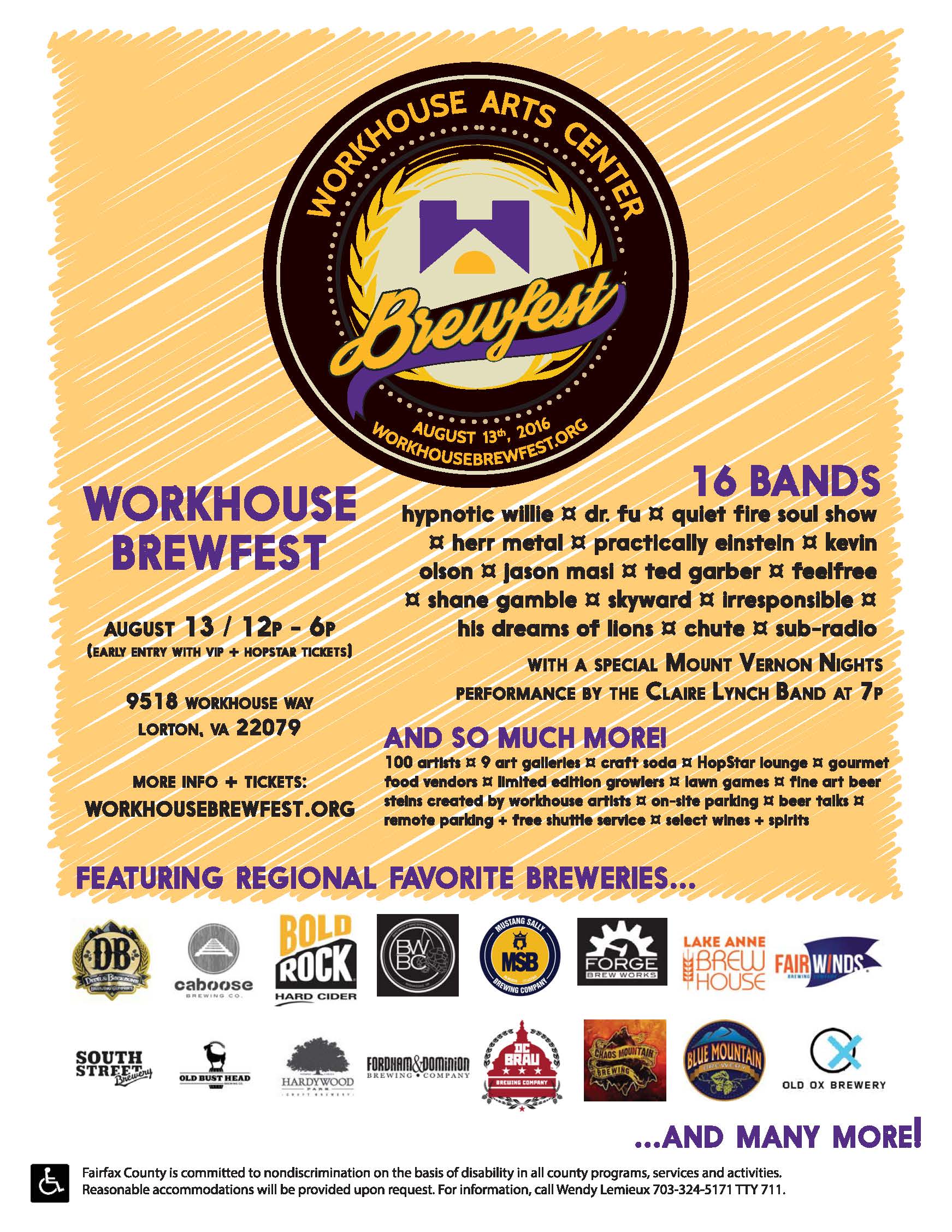
The Workhouse Arts Center in Lorton is hosting a Brewfest this weekend, Saturday 13 August 2016.  Free bicycle parking will be available (it costs $15 to park a car at the Workhouse).

Also, bicyclists get a $5 per ticket discount. To get the discount purchase your tickets on-line using the promo code “BIKE”. Get your tickets here.

You can park your car for  free at locations 1 mile to 9.5 miles (see below) from the Workhouse, and head straight there, or join us on one of five organized pre-event rides that start from the Vulcan Parking Lot, the nearest free parking site.

Potomac Pedalers Bicycle Club in association with Active Prince William are organizing these bike rides the morning of the event. Fairfax Alliance for Better Bicycling (FABB) and Active Prince William have also mapped out ride cues to get to the event from locations in Fairfax and Prince William Counties.

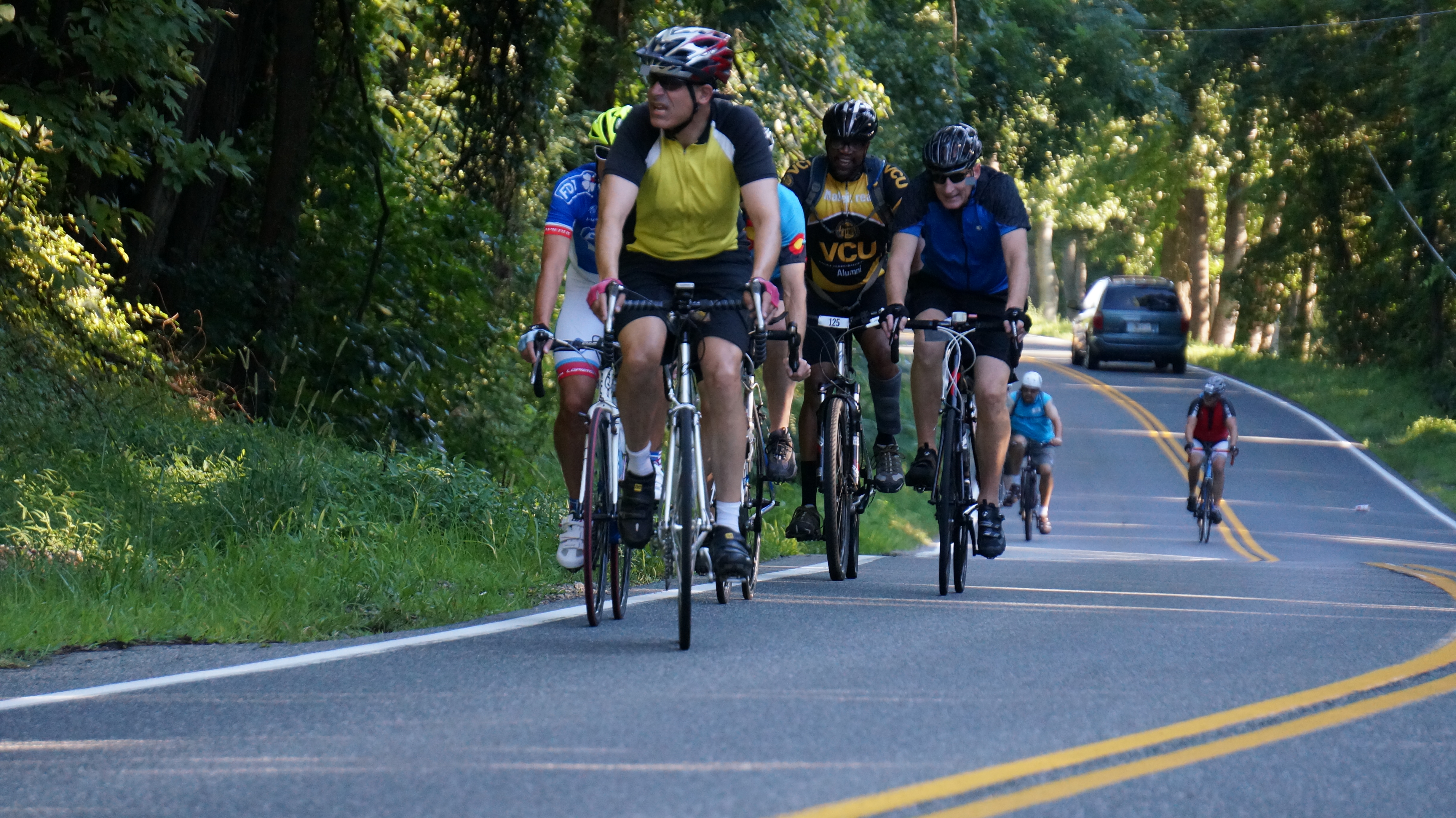
Tour of Prince William 2016 - Blackburn Road

Organized Brewfest Rides

Bike rides are as follows (more details at the Potomac Pedalers website):

Workhouse to Burke Lake for Ice Cream
18 miles – 09:45 AM – average speed 10 mph
GPS Route: https://ridewithgps.com/routes/15718477
Rest Stop: Mile 9 – Burke Lake Ice Cream Parlor

Prince William Tour of Towns (ActivePW)
26 miles – 09:30 AM – ave speed 10-12 mph
Rob Delach [rdelach@gmail.com] Cell: 703-727-0321
GPS Route: https://ridewithgps.com/routes/14969209

Brewfest 36.5
36.5 miles – 9:15 AM – ave speed 12-14 mph
GPS Route: https://ridewithgps.com/routes/15018544

Workhouse to Mason Neck – Long
48 miles – 9:00 AM – ave speed 14-16 mph
GPS Route: https://ridewithgps.com/routes/14592184

Workhouse to Prince William Forest Park
58 miles – 9:00 AM – ave speed 18-22 mph
RWGPS: https://ridewithgps.com/routes/14590039

Ride Start location is the Vulcan parking lot, across Route 123 from the Workhouse
Address: Vulcan Parking Lot, 10000 Ox Road, Lorton, Virginia 22079
Click here for Google Map of Ride Start location.

Bike Routes to the Brewfest

Bike route start locations in Prince William County are:

Route 123 Commuter Lot, Woodbridge, 2.5 miles
Tacket’s Mill Commuter Lot, Lake Ridge, 4.0 miles
Stonebridge at Potomac Town Center, 9.5 miles

Bike route cue sheets can be found here.

Background Info

This will be the first annual Brewfest, and is organized by Celebrate Fairfax, Visit Fairfax, and the Fairfax County Government. There will be almost 100 craft beers from 30 local breweries, 16 bands performing, food trucks, access to the various Workhouse Art galleries, and more. More details can be found on the Brewfest website.

Brewfest Poster

Brewfest Poster

The City of Manassas is Poised to Revamp Grant Ave with the City’s First Road Diet, Citing Pedestrian Safety Concerns

The City of Manassas is in the planning stages of a redesign of Grant Avenue, a road considered the southern gateway to downtown Manassas. Citing pedestrian safety and safe routes to schools, City staff are considering a road diet from 4 to 3 lanes with improved pedestrian sidewalks and crossings. A public meeting was held on 29 June with additional public engagement in the planning process to come in the future. Implementation of the Grant Ave Streetscape Project will also enable the city to move forward with smart growth re-development on the southern side of the city.
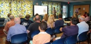
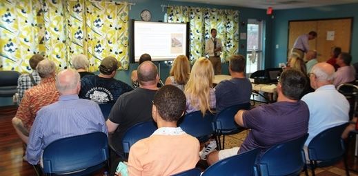
Streetscape Meeting

Manassas Grant Ave Streetscape Meeting

At the public meeting on 29 June, there was considerable staff, consultant, and community support for implementing a four-lane to three-lane road diet to improve walking and bicycling conditions, enhance bus stops, and increase aesthetics without significantly degrading motoring. Mayor Parrish, three current City Council members, and senior City staff were present at the meeting.
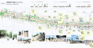
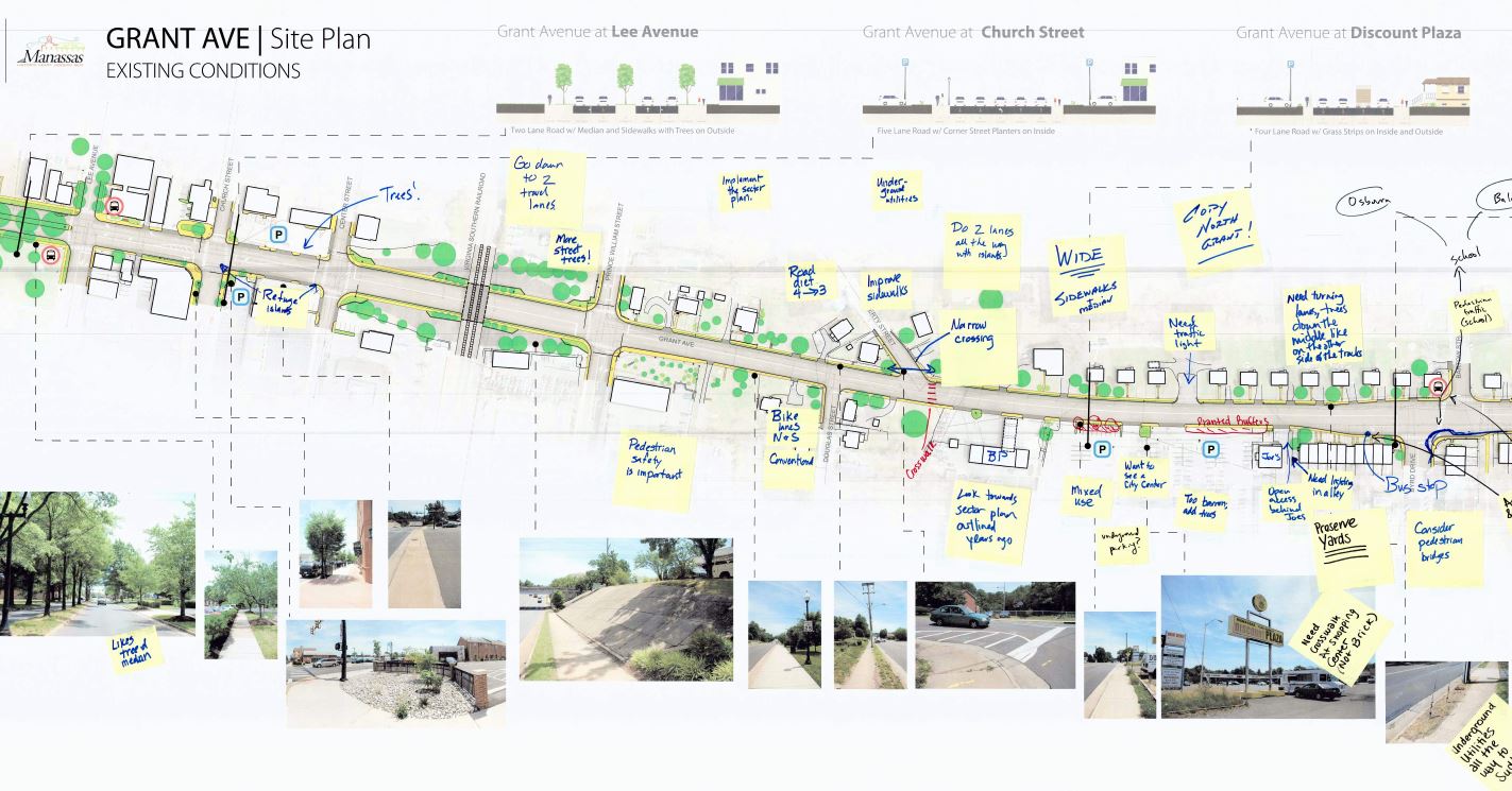
Existing Condition Comments

Manassas Grant Ave Streetscape Existing Condition Comments

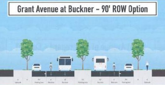
At the meeting, staff guided interested individuals in using the Streetmix computer program to design alternative cross sections for Grant Ave.  While conventional bike lanes are eminently feasible and should be adequate for many bike riders with a road diet’s traffic-calming influence and a lowered 25 MPH speed limit, it was clear that the current street right of way is constrained, and expanding the sidewalk areas to include planting strips with street trees, urban street lamps, and bus shelters is an important “competing” priority that may preclude adding buffered or separated bicycle lanes.
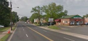
View near Brent St.

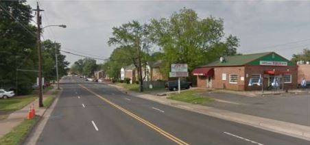
Manassas Grant Ave view near Brent St.

While a simple road diet can often be accomplished using only maintenance funds to repave and re-paint the new lane configuration, expanding the sidewalks and planting strips, undergrounding the currently overhead utilities, and adding bus shelters, urban street lights, street furniture, trees, and other landscaping along Grant Ave will necessitate considerable construction funds.

The Initial planning and design for the project has been funded, but there’s not yet any funding allocated for construction, and thanks to HB 2 and HB 599, which target road capacity expansions, neither the Virginia Commonwealth Transportation Board (CTB) nor the Northern Virginia Transportation Authority (NVTA) are likely to provide any money for a road diet.  If construction will be locally funded, it’s unlikely that the curbs will be moved, so as to greatly reduce construction costs.  At the meeting, Active Prince William advocated for alternatives–including buffered bike lanes–that could fit within the existing roadway.
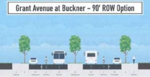
Example Road Profile

Grant Ave Streetscape Example Road Profile

For more information, visit the City’s project page [http://www.manassascity.org/grantave], where you can sign up for project updates, and view the meeting presentation which provides background information and describes how the meeting was conducted.
« Older posts Newer posts »