The Route 234, Dumfries Rd, bicycle and running trail is set to be extended from its current Eastern end point at Golf Club Dr, the main entrance to Montclair. The project will extend the trail for more than an additional mile, past the Brittany Residential Community down to Talon Dr just past the 7-Eleven. The trail extension will link Montclair, Brittany, and Four Seasons communities to Fortuna Plaza enabling thousands of people to bike and walk to shopping and restaurants that are currently accessible only by car.
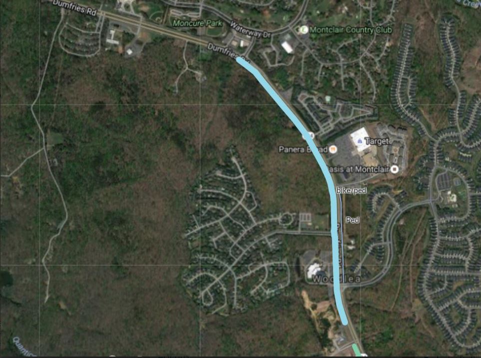
Route 234 Trail Extension Map
The project will expand options for outdoor activities in the area, connect more people to the unofficial North entrance to Prince William Forest Park (near Waterway Dr), and improve access to a number of PRTC bus stops along Route 234, making it safer to walk or bike to transit in this area of the county.
Construction of the Route 234 trail extension should begin next year and is planned to be completed by Spring of 2018.

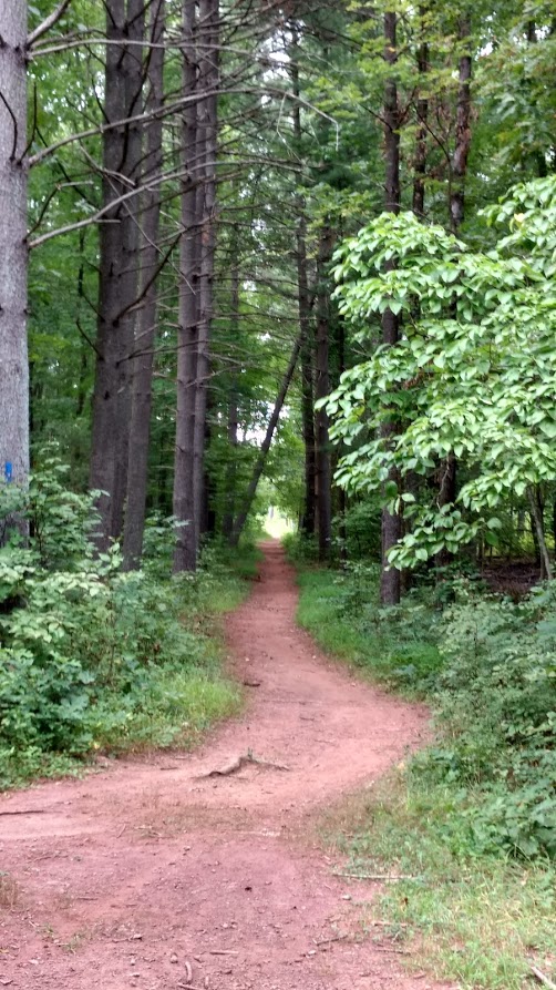
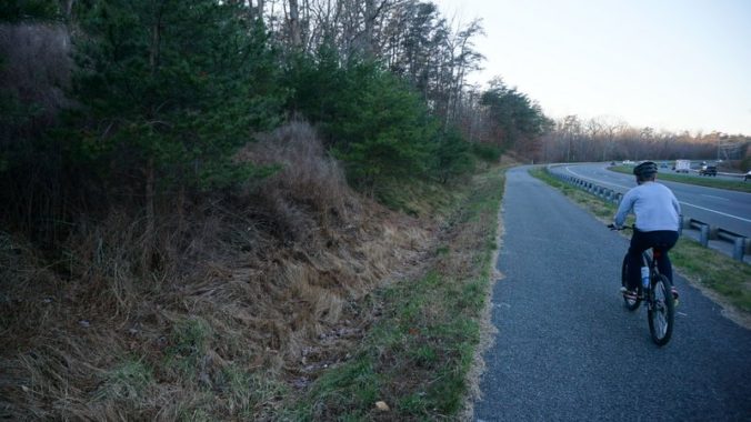
Route 234 Trail Runners
Future Plans.
Prince William County DOT has plans for a future extension that will complete the trail all the way to Route 1, Jefferson Davis Highway. The completion of the trail to Route 1 is not yet funded, but PWC DOT has worked with the regional Transportation Planning Board (TPB) to get the project on the unfunded pedestrian and bicycle priority projects list to receive funding as soon as it is available.
The Google Map below shows the new trail section being constructed (in purple), and existing sections of the trail (in green). Lines in red in the map are future potential projects.